


E500 Integrated Geodetic GNSS Receiver
GNSS receiver
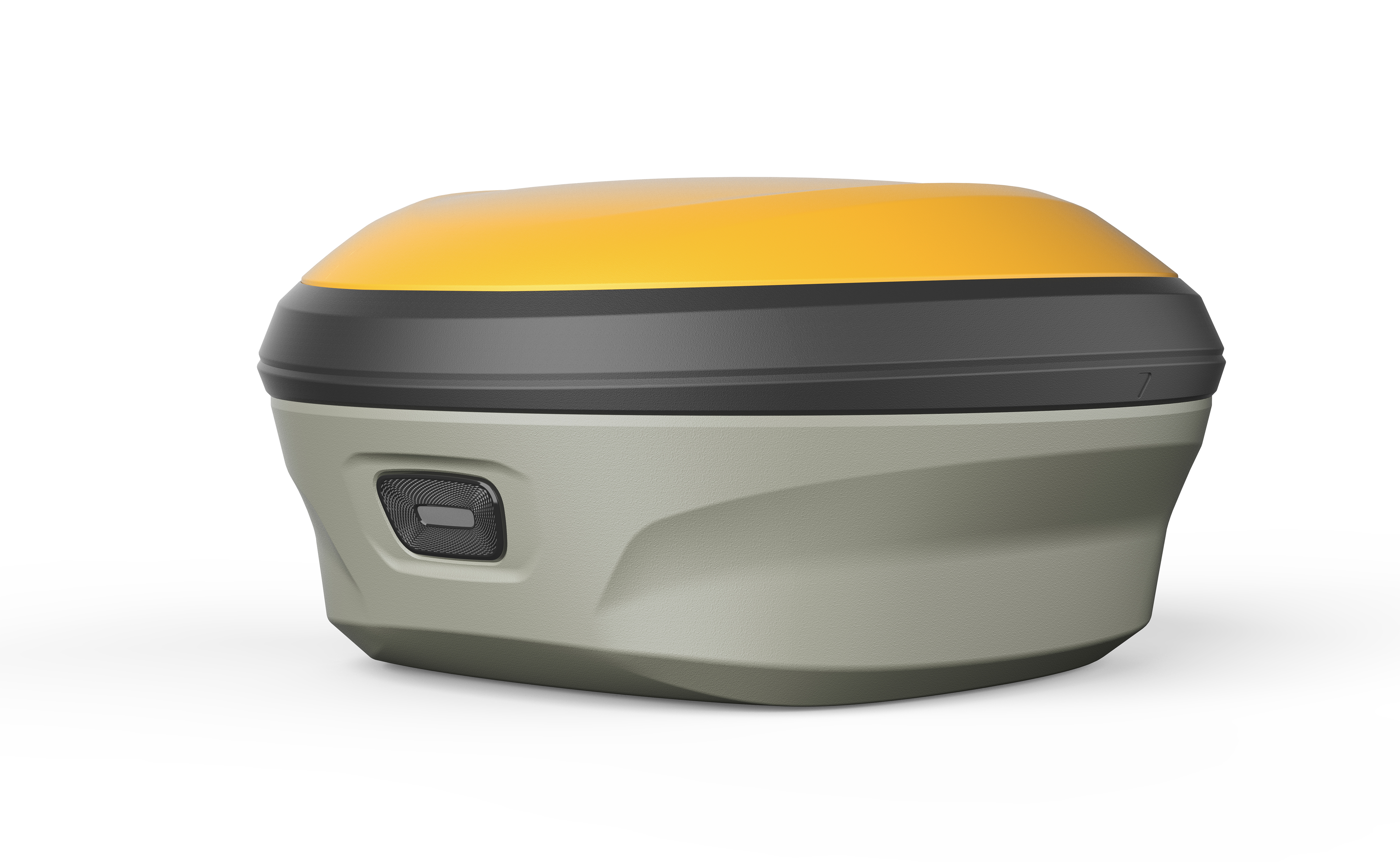
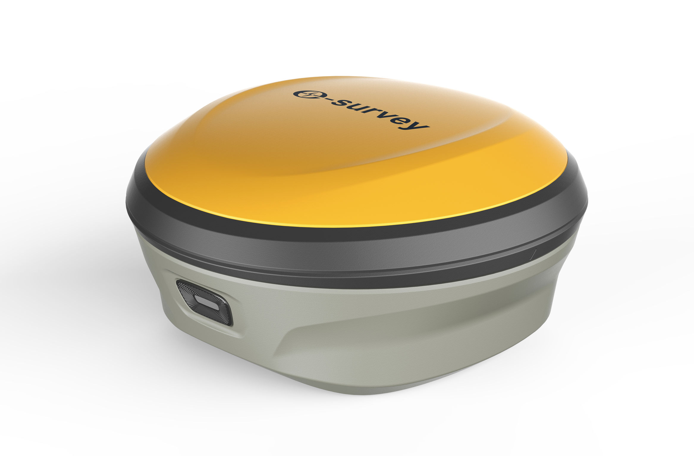
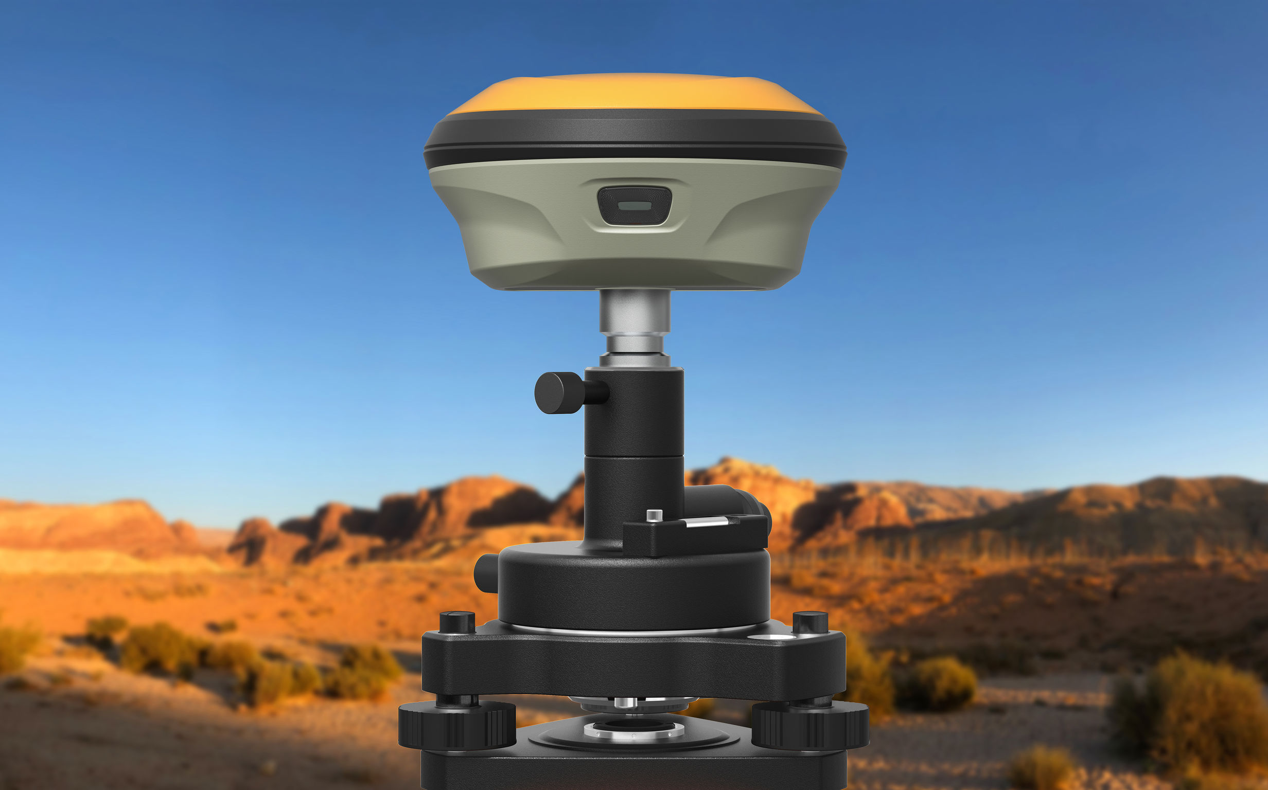
This device is an integrated GNSS receiver for use by field surveyors. The design features a patented space capsule design and receiver chips to provide a better performance and user experience with 30% fewer electronics, 20% less weight, and 20% cost reduction. The device is two times more environmental, thanks to green manufacturing methods and more efficient production. The device's better power control and advanced calibration-free tilt measurement technology make a surveyor's 12hours+ workday much more efficient.
Client / Manufacturer Design
Guangzhou Geoelectron Science & Technology Company Ltd.
Guangzhou, CNShanghai eSurvey GNSS Co., Ltd
Shanghai, CNGuangzhou Geoelectron Science & Technology Company Ltd.
Guangzhou, CNDate of Launch
2021
Development Time
13 - 24 months
Target Regions
Africa, Asia, Australia / Oceania, Europe, North America, South America
Target Groups
Consumer / User, Trade / Industry, Public Sector Government