Leica BLK360
Imaging laser scanner
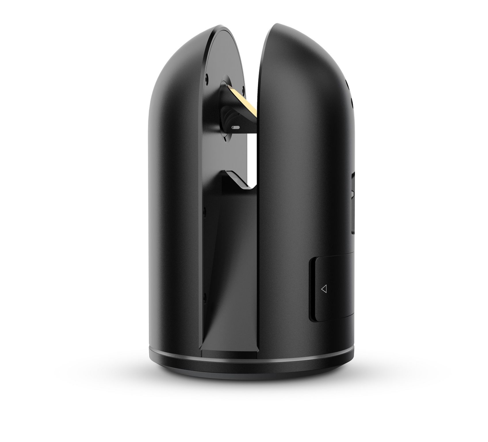
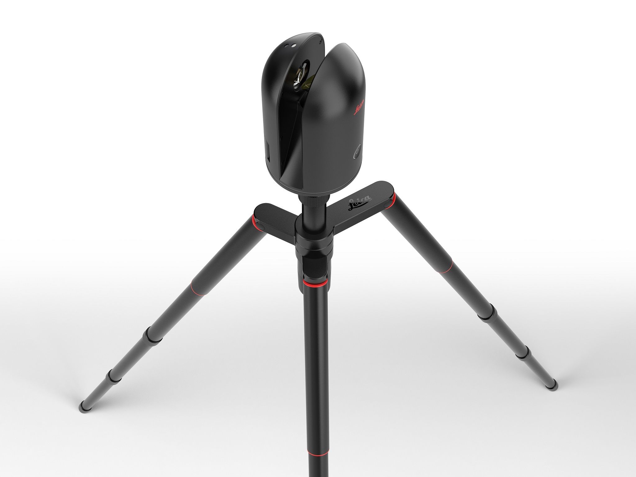
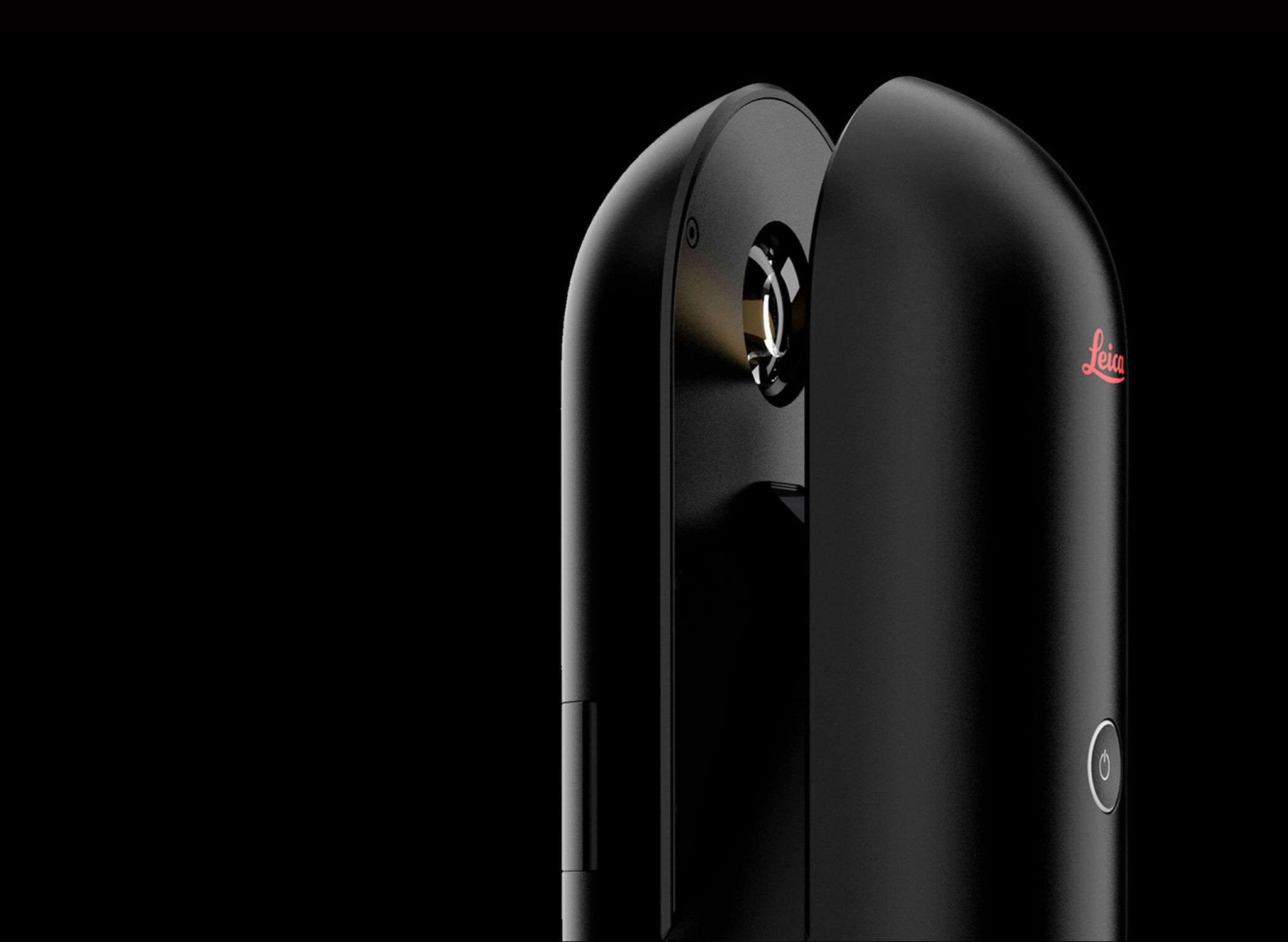
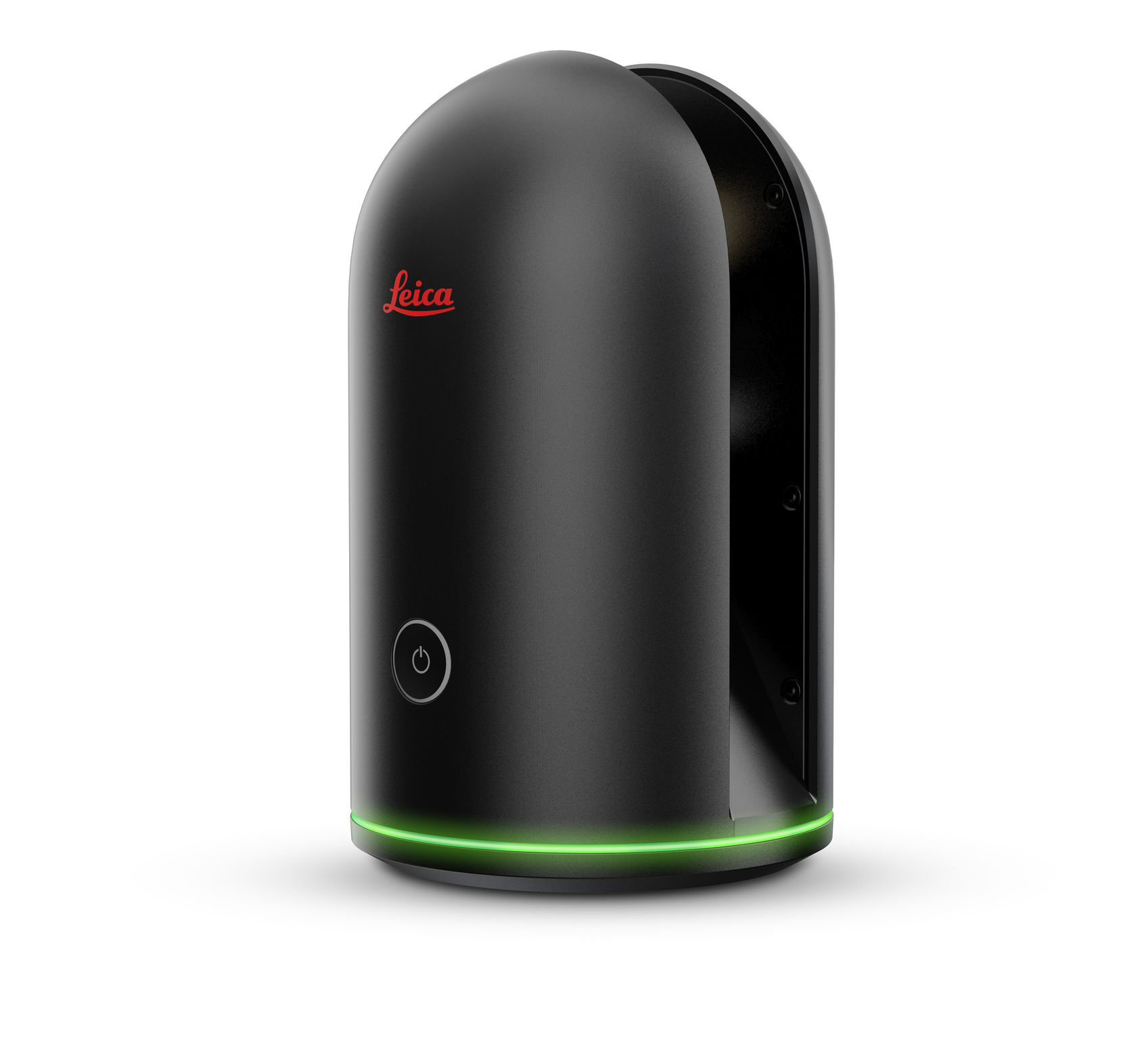
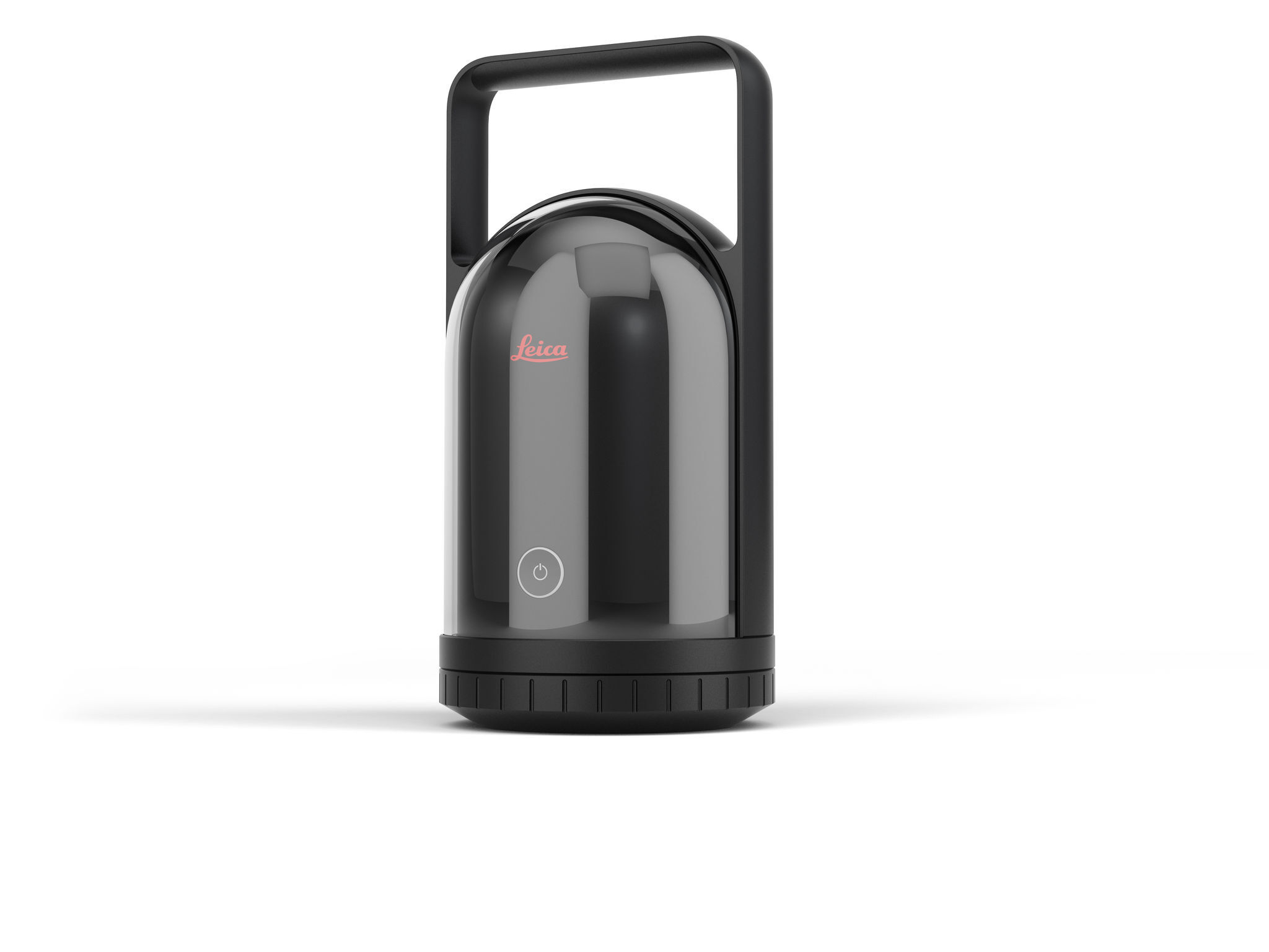
The Leica Geosystems BLK360 3D imaging scanner creates a 360° HZ x 300° V full-color spherical image overlaid on a millimeter accuracy point cloud. Image capture, laser scan, data filtering and transfer takes about three minutes with the on-the-fly data processing app. Prior to this innovation, laser scanning could only be performed by highly skilled professionals with intimate knowledge of surveying. The BLK360 is the smallest and lightest laser scanner in its class. This product also cuts the cost of entry into laser scanning by 50%. The BLK360 is a technological leapfrog and a picture of creative expression. When people see it, they want to pick it up.
Date of Launch
2016
Development Time
13 - 24 months
Target Regions
Africa, Asia, Australia/Oceania, Europe, North America, South America
Target Groups
Consumer / User, Trade / Industry, Public Sector / Government