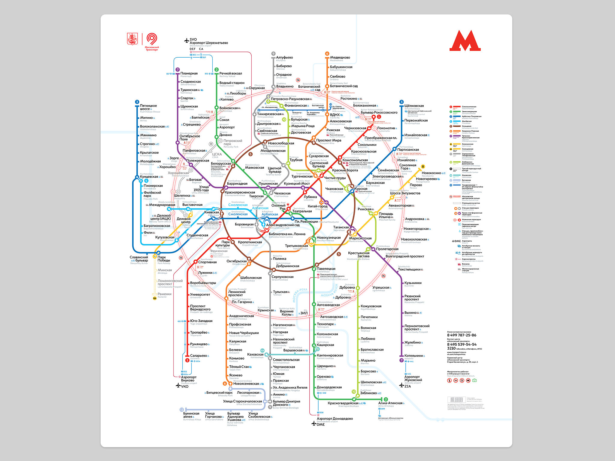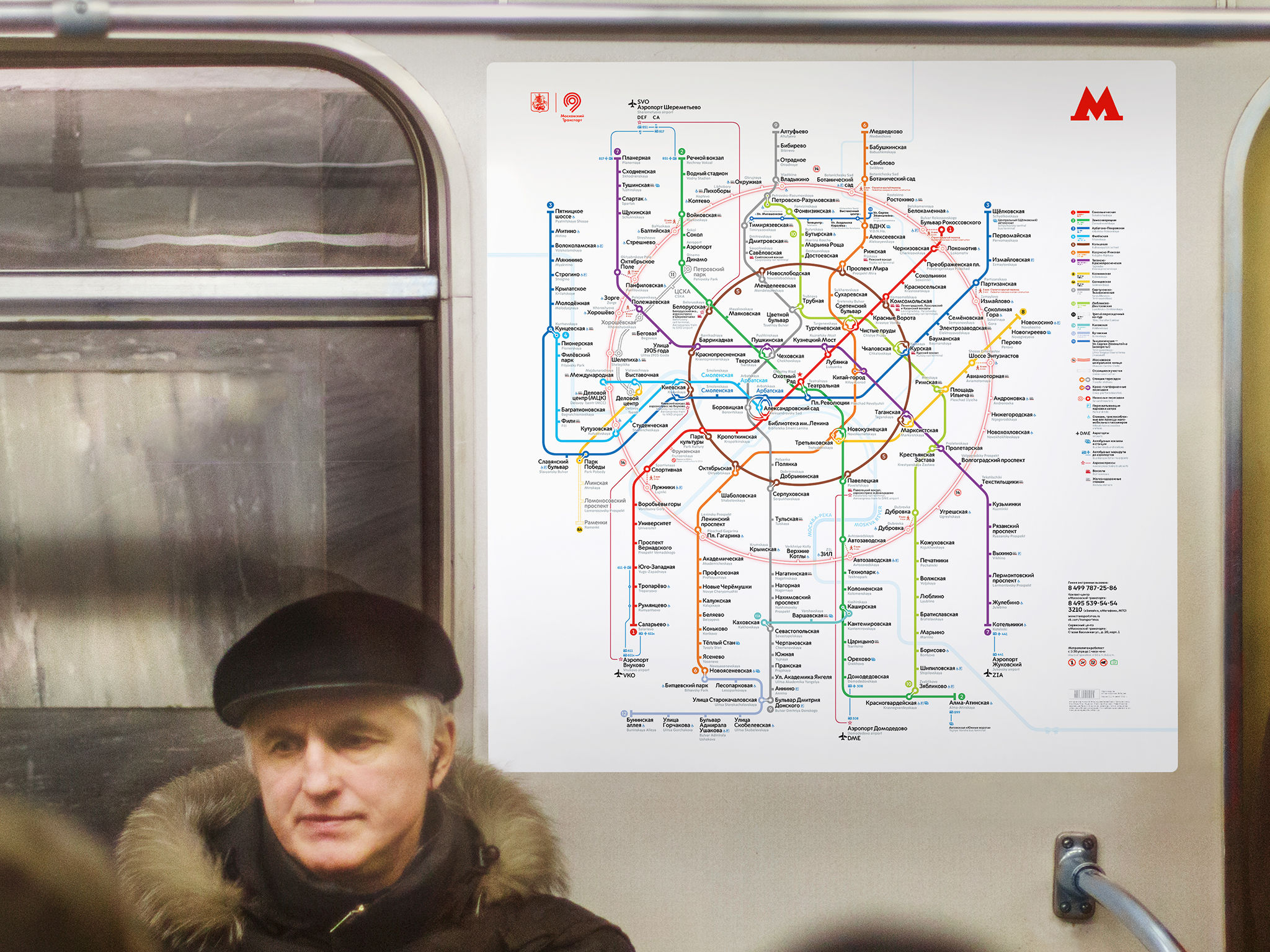


Moscow Metro Map
Graphic transport map
Moscow Metro
The aim of the project was to create an updated yet recognizable Moscow Metro Map that would be seen by millions of passengers every day. The result is a flexible graphic system that allows to construct maps of any size and detail. Mnemonic devices, graphic symbols, color coding and highlighting are implemented to make information instantly readable. For the first time, the map includes station names in English. The system was used to create maps for train cars, station vestibules and entrances as well as a transparent map for train car windows that is readable both in bright daylight and in dark tunnels.
Date of Launch
2016
Development Time
up to 12 months
Target Regions
Europe, Russia, "Moscow"
Target Groups
Consumer / User
